|
|
|
LORAN STATION AND AIRSTRIP
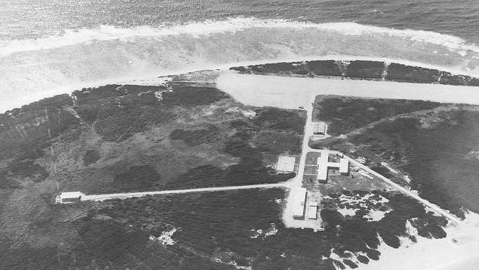
Kure was the location of one of the Loran transmitting stations. This system was used for oceanic navigation based on triangulation computed from time delays of radio signals from several stations. Development of the Global Positioning System (GPS) made the Loran system obsolete, and the station was closed in 1992. The towers were subsequently dismantled.
Source: http://www.fredsplace.org/photo/pix/05020_s.jpg

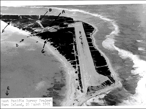
The airstrip. The airstrip on Kure is not operational, but could be put into service for an emergency. It is approximately 4000 feet long.
Source: http://www.ngs.noaa.gov/PROJECTS/HawaiiReef/kure.html
Copyright © 2012 Robert W. Schmieder All rights reserved. Last update: Monday, February 13, 2012

